|
|
A space-time path, as a continuous trajectory in 3D space, is
a useful means for visualizing a person's daily movement in space and time.
In this figure, the vertical axis represents the temporal progression of such movement,
while the horizontal plane represents the geographical extent of a person's activity
space. This path shows a woman's feeling (color coded) about the
urban environment while traveling outside her home in Columbus, Ohio. |
|
|
This figure shows the space-time paths of the African-American women in the Portland Activity-Travel Survey (Oregon, 1994-95) dataset. It shows that the activity spaces of these women are more restricted than individuals of other gender/ethnic groups in the sample. |
|
|
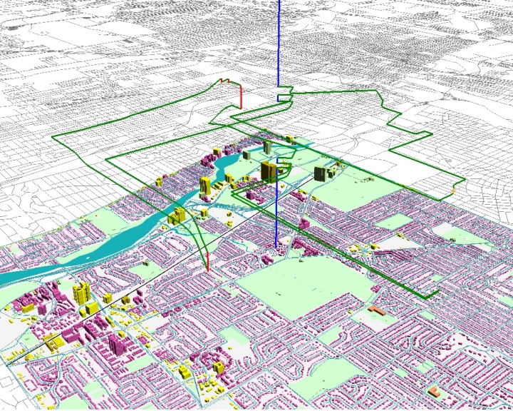
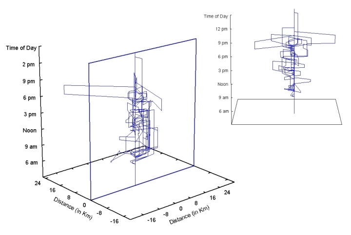
These space-time paths of a sample of individuals in Lexington, Kentucky, were constructed using data collected by GPS. |
|
|
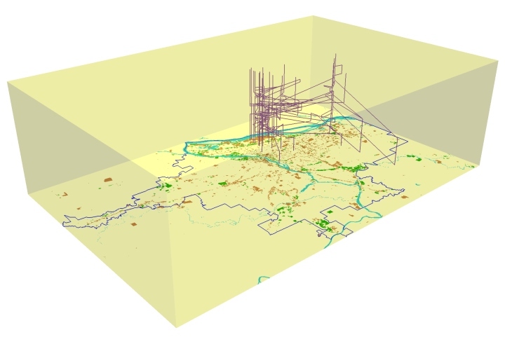
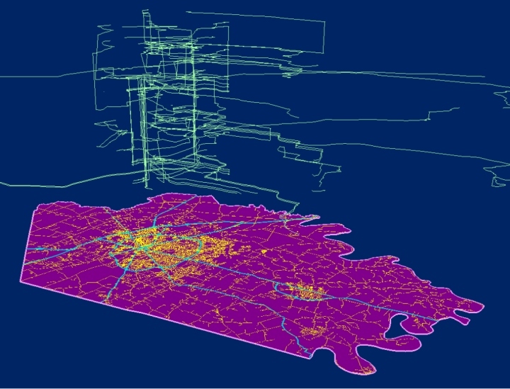
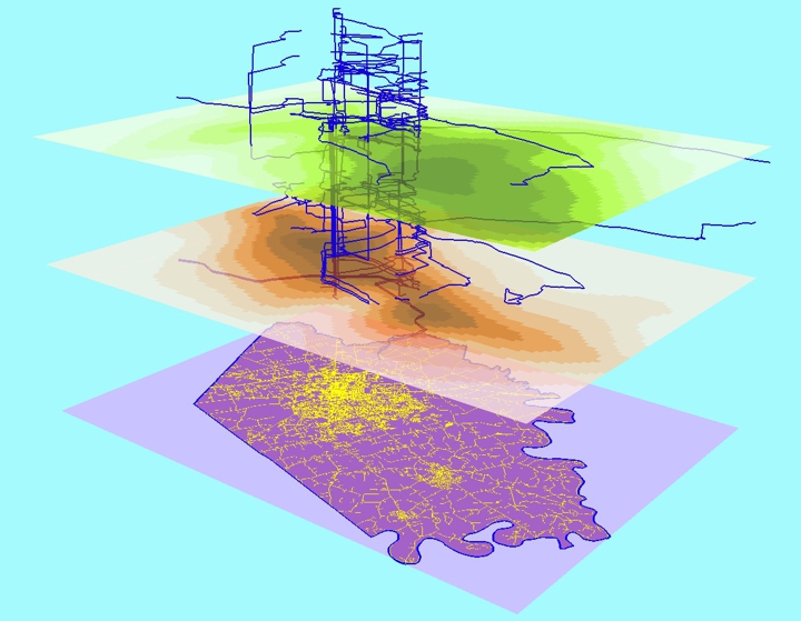
Space-time paths of individuals collected with GPS can provide more accurate assessment of their exposure to environmental risk factors (e.g., traffic-related air pollution, carcinogenic substances, etc.) when integrated with detailed data about the spatial and temporal variations of these risk factors. |
|
|
Space-time paths of different individuals can be standardized for easier comparison
of their activity patterns. This figure shows the standardized space-time paths of
a sample of women employed part-time in Columbus, Ohio. Location (0,0) on the x-y
plane is the home location, and the vertical plane along x-axis is the home-work plane.
This figures shows that these women have rather fragmented space-time paths.
|
|
|
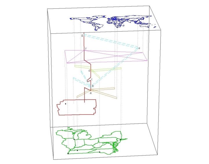
Using information about a person's Internet activities, this diagram represents human extensibility due to the use of information and communications technology (ICT). The person, although physically located in Franklin County, Ohio, engaged in a diverse set of physical and cyberspatial activities at different geographical scales (global, regional and local). |